At Geomática Ingeniería, we handle every phase of your project — from precision topographic surveys to advanced digital mapping. Complementing our technical services, we provide specialized consulting to ensure comprehensive support throughout your project lifecycle.
Taking Information
Our system for the taking of aerial photographs is completely digital, while minimizing time and costs.
Specialist camera
Hardware and software of the latest technology
Corridors, pipelines, mines, oil exploration
Environmental monitoring, forest inventory and crops, and mapping accuracy
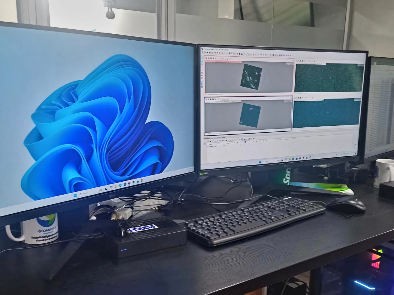
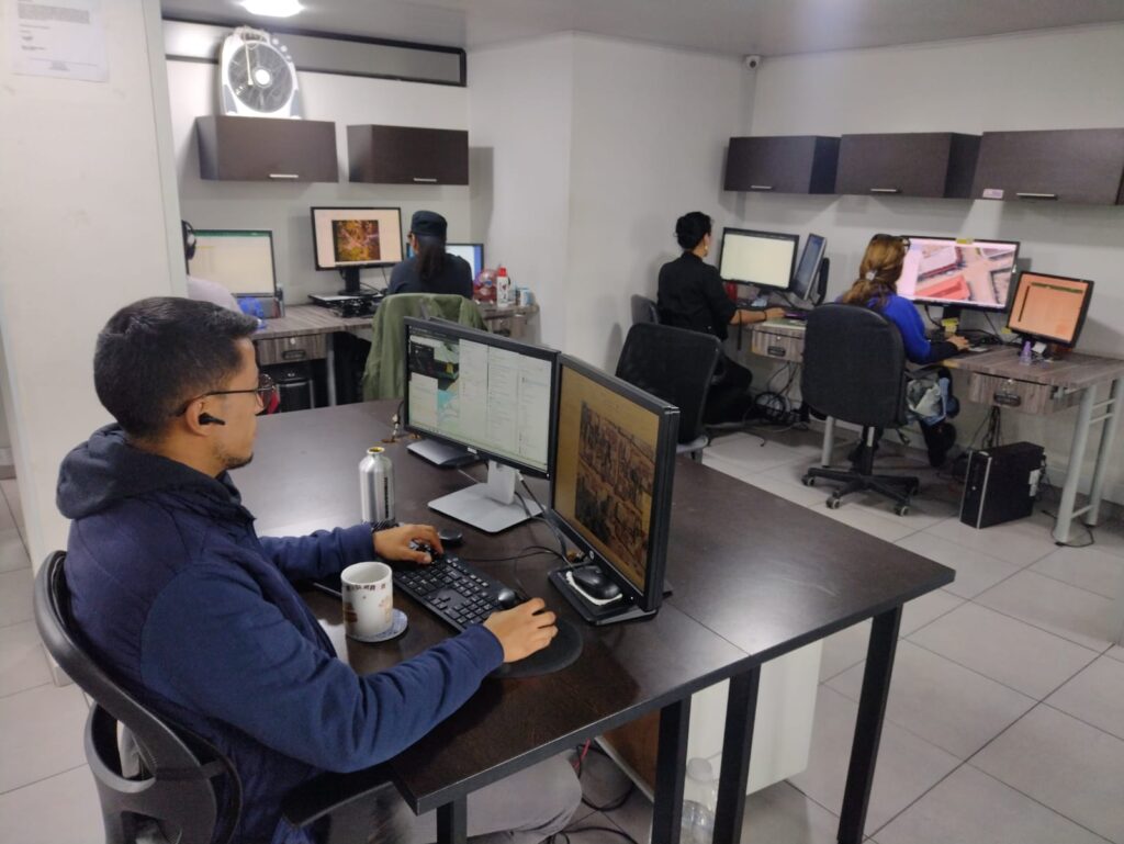
Processing Information
We transform geospatial data into actionable insights, whether from our aerial surveys, IGAC sources, third parties, or satellite imagery (Ikonos/QuickBird/Aster). No matter the source, we deliver precision in all types of georeferenced data.
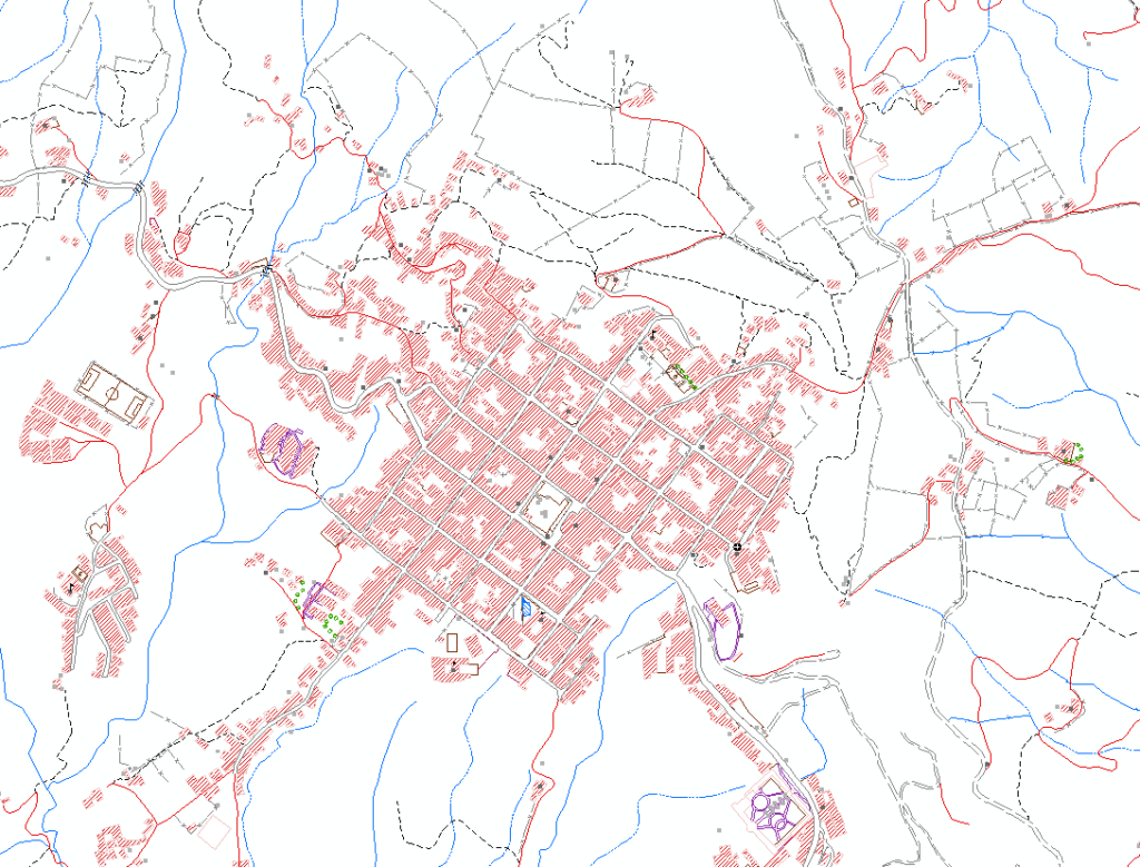
Orthophoto mosaics, Digital Terrain models (DTM and DSM)
Cartography vector and 3D modelling
Geographic Information systems-products and derived products (thematic Maps, Anaglyph)
Services of consulting and project supervision and quality assurance in Cartography, Geographic Information Systems, LIDAR, AND Topography
Software distribution
PHOTOMOD is a modular system that offers flexibility and maximum benefits to the users. Allows you to work on projects with defined steps (preparation of data, setting blocks, processing) with a flexible set of tools. This advanced software extracts information precise spatial images obtained by digital cameras, unmanned aerial vehicles and scanners, high-resolution satellite.
We are representatives and authorized distributors in Colombia
Accuracy in the measurement
Applications in various sectors
3D modeling and realistic obtaining geospatial data
Contact us
See all our services and do not hesitate to schedule a consultation.