We are a company with over 15 years of experience in the industry, specializing in the creation, management, and analysis of digital cartographic data. Leveraging advanced geospatial sciences—including photogrammetry, cartography, remote sensing, and Geographic Information Systems (GIS)—we develop tailored solutions that empower businesses to plan, execute, and evaluate projects using georeferenced data.
Our expert team and high-precision solutions are dedicated to advancing the country’s growth through geospatial excellence.
Software Representations
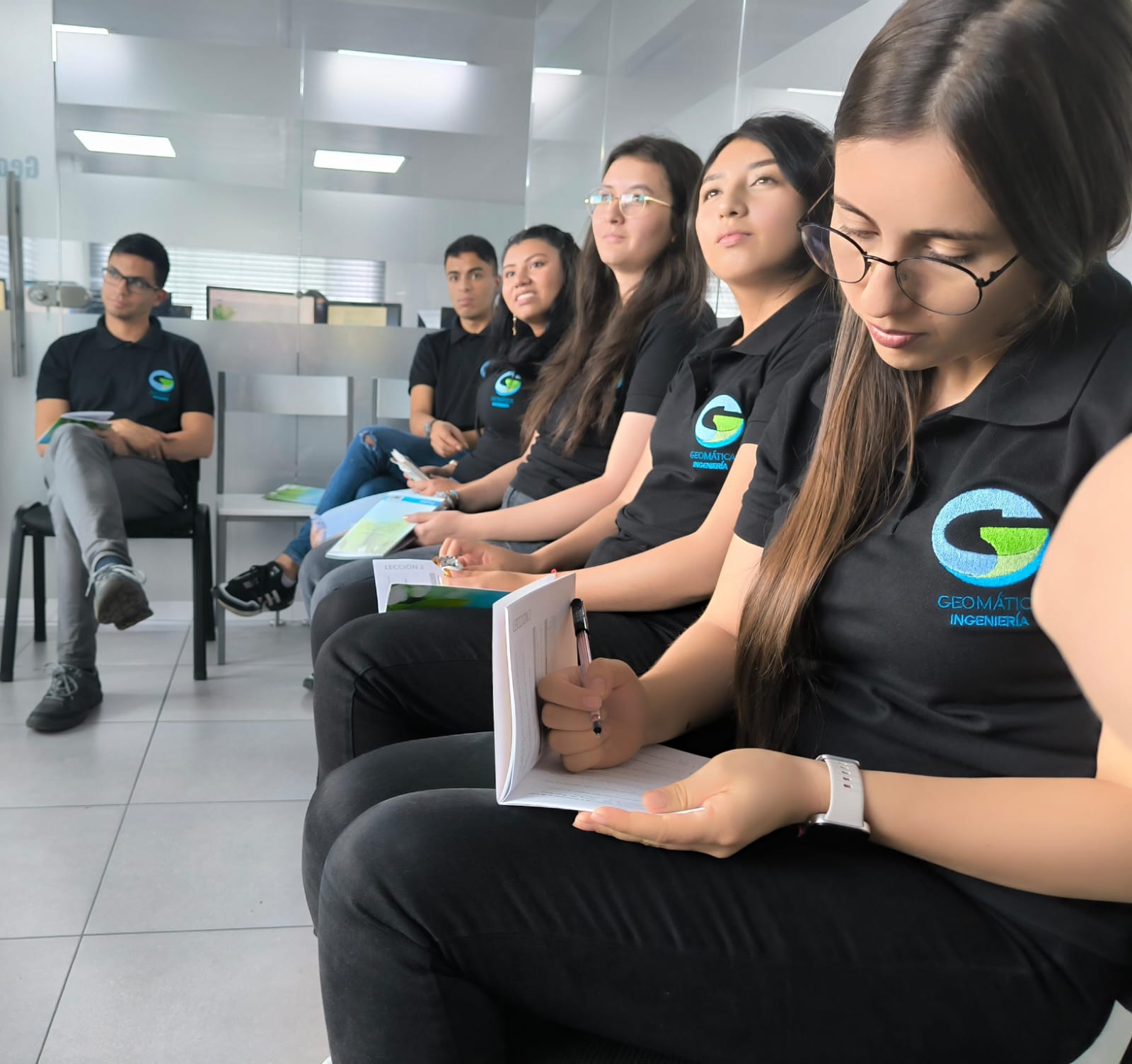
Meet Our Expert Team
Javier Alvarez
Topographic Engineer & GIS expert directing earth science projects since 2005, he has led and coordinated earth science projects utilizing technical resources, highly trained personnel, and cutting-edge technology to deliver the highest quality cartographic products to the market.
Narly Acosta
Licensed Topographic Engineer and GIS expert with 18+ years in territorial mapping. Leads high-precision cartographic production using advanced geospatial technologies, ensuring data-driven decision-making for sustainable development.
Our Mission
Proveer información georeferenciada de alta calidad, a través de soluciones inteligentes y herramientas geoespaciales de última generación, impulsando la toma de decisiones y el desarrollo sostenible del territorio.
Our Vision
Ser la empresa líder y referente en productos cartográficos a nivel nacional e internacional, destacando por la alta calidad de nuestros productos, el cumplimiento de los más estrictos estándares y nuestra constante vanguardia tecnológica en geomática.